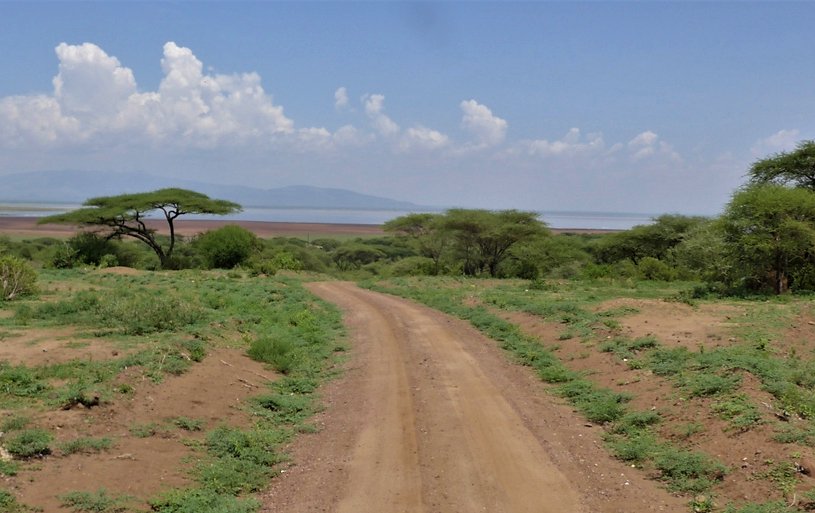
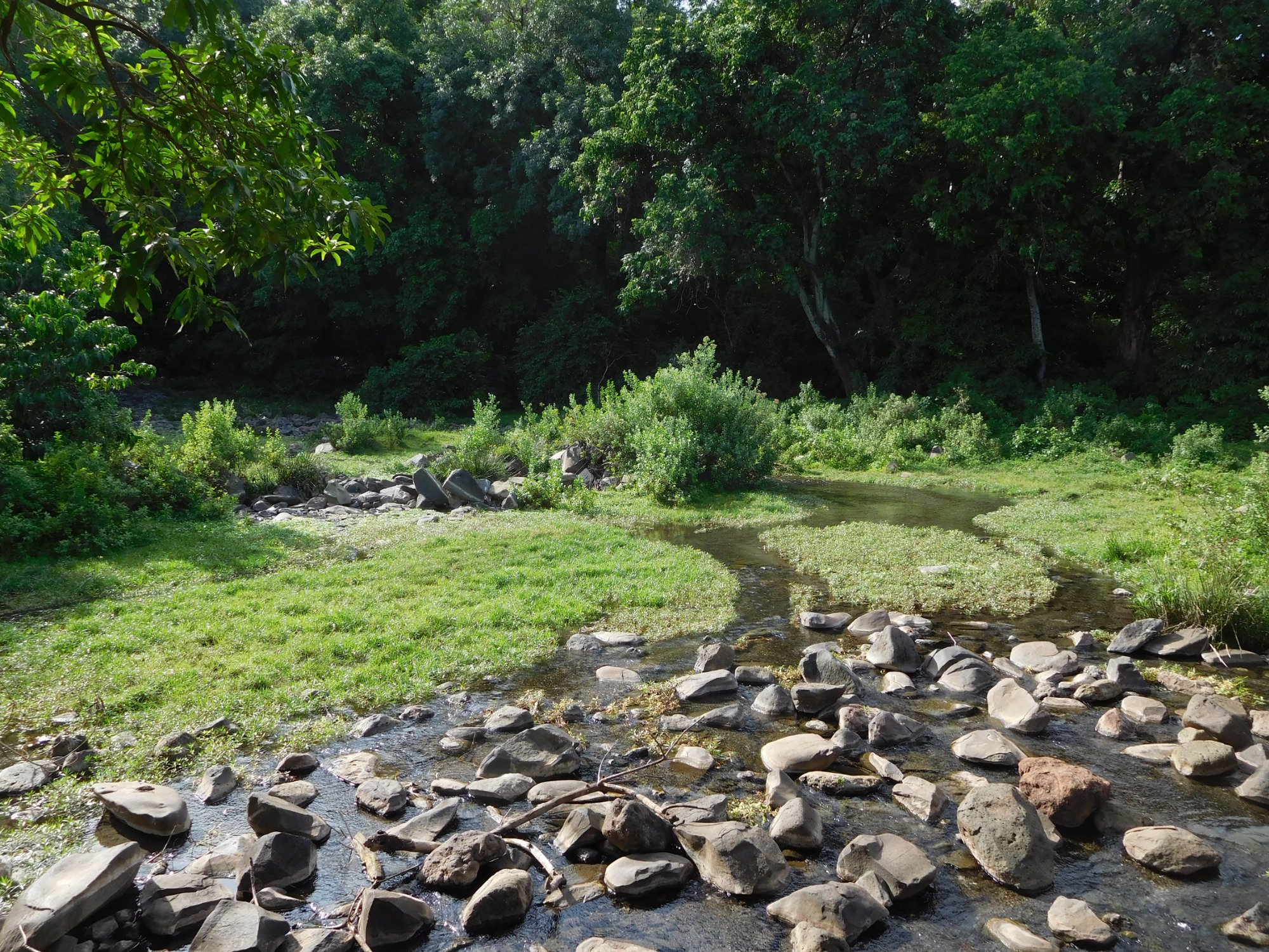
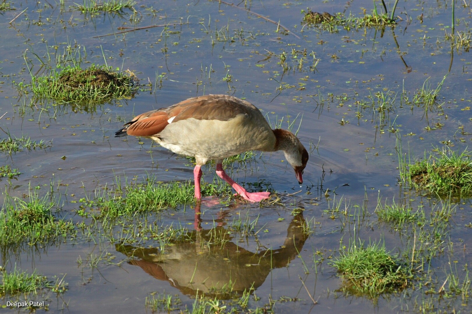
Lake Manyara National Park is a compact ecosystem set on a thin strip of land between the Great Rift Valley wall and a shallow alkaline lake. Within that small space you cross evergreen forest, dry woodland, open grass plains, reed swamps, and the soda lake where flamingos gather in thousands. Water links it all, flowing from the top of the valley wall down to the lakebed. This guide follows that water and shows how each habitat supports its own wildlife.
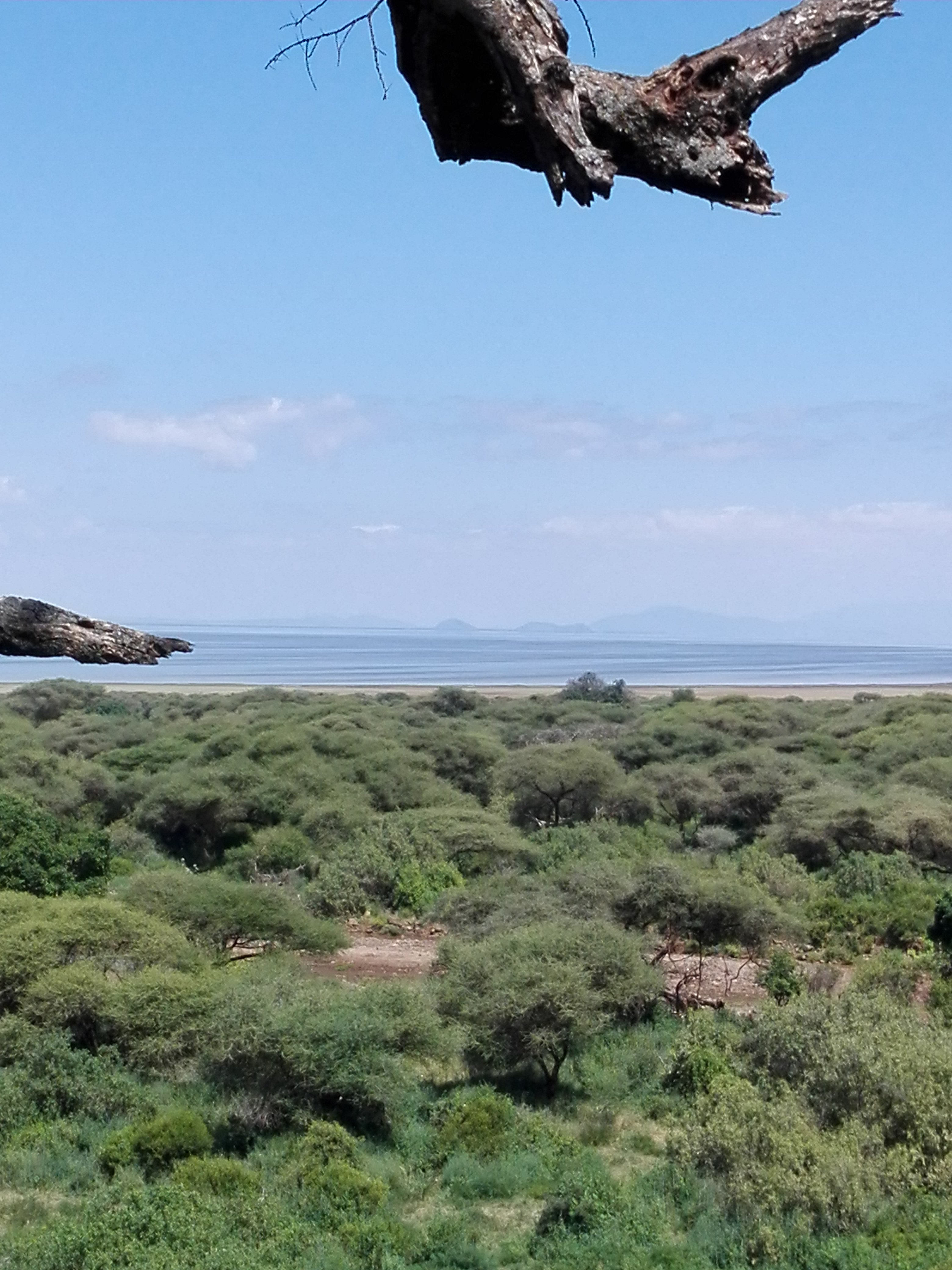
The short version is that water and geology do most of the work. The steep escarpment catches rain and stores it underground, springs release that water at the foot of the slope, and the flat basin below collects everything that runs off. Because the land drops so sharply over such a short distance, conditions change fast, and that quick change is exactly why the park holds so much variety.
Where the Rift Valley Shapes the Land
The park lies along the western branch of the Great Rift Valley, the long crack in the Earth’s crust that runs down eastern Africa. Millions of years of movement pulled the ground apart and dropped a huge block of land, leaving a cliff that towers over the plain below. At Lake Manyara this cliff, known as the escarpment, rises steeply from a lake floor sitting near 960 metres above sea level up to roughly 1,600 to 2,000 metres at the top. In places the wall stands around 600 metres above the water, a real barrier that you can see for miles.
That height difference matters more than it might seem. Cooler, wetter air clings to the upper slopes, while the basin floor stays hot and dry. Rain falls a little more heavily against the escarpment and a little less out on the flats, so the same park can feel like two climates within a short drive. The lake itself sits in a closed basin with no river carrying water out to the sea. Everything that flows in either soaks into the ground or leaves as vapour under the sun. A basin that traps water this way is called endorheic, and it is the reason the lake turns salty over time.
Think of the escarpment as a giant funnel and a sponge at once. It gathers rain across the highlands above, holds it in cracked rock, and then leaks it slowly at the base. That steady leak is what keeps the forest green even in the dry months.
The Water Cycle That Feeds the Forest
Rain across the highlands above the park, including the country around the Ngorongoro highlands, does not simply run off and disappear. Much of it sinks into the volcanic soils and porous rock of the high ground and travels slowly downhill underground. When this hidden water reaches the hard base of the escarpment it has nowhere left to go but sideways and up, so it emerges as a line of perennial springs along the foot of the cliff. Perennial means they flow all year, even when no rain has fallen for months.
These springs are the secret behind the park’s most surprising feature. A dry region should not hold a tall, damp forest, yet here one grows because the trees drink from groundwater rather than waiting on the sky. Several seasonal rivers add to the mix, among them the Simba River draining off the higher ground to the northwest and the Makuyuni River arriving from the east, along with the stream at Mto wa Mbu that feeds the northern edge. In the wet season these rivers swell and spread nutrients across the flats. In the dry season they shrink or vanish, and the underground springs carry the load.
Mean yearly rainfall runs somewhere around 650 to 850 millimetres, higher against the escarpment and lower on the open plain. Because the basin has no outlet, the minerals carried in by water stay behind as the surface evaporates, slowly building the salts that make the lake alkaline. So the same water cycle that keeps the forest alive also, over long spans of time, creates the soda lake at the bottom. The system is tied together from top to bottom by a single flow of water.
Inside the Groundwater Forest
At the base of the escarpment, where the springs surface, stands the groundwater forest. This is the first zone most visitors meet, a shady band of tall evergreen trees that feels far cooler and darker than the sunlit plains beyond. The forest owes its existence entirely to the springs rather than to rainfall, which is why it looks so out of place in an otherwise dry landscape.
The canopy here is built from large, thirsty trees. Sycamore fig, wild mahogany relatives such as Trichilia, the tall croton, the quinine tree and the forest toad tree grow close together, their roots reaching the constant moisture below. Beneath them the ground is thick with ferns, wild gingers and climbing vines, plants that need damp shade to survive. Strangler figs wrap older trunks, and fallen leaves rot quickly in the humid air to feed the next round of growth. Water seeps through this zone gently, and the forest acts like a natural store, holding moisture and releasing it into the soil at a slow, steady pace. You can explore the layered world of these shaded stands in more detail through this look at the groundwater forest habitats.
The dense cover and year round water make this zone a refuge for animals that need shade and cover. Troops of baboons move through the leaf litter, blue monkeys feed in the branches, and bushbuck slip quietly between the trunks. Birds fill the canopy with sound, and the whole zone feels alive in a way the open plains never quite match.
The Acacia Woodland Belt
Leave the forest and the land opens into acacia woodland, a drier belt where the constant spring water no longer reaches the surface. Here the trees stand further apart, sunlight pours through, and the flat topped acacias that so many people picture when they think of Africa take over. Umbrella thorn and other thorny species dominate, along with tamarind and the odd baobab, all of them able to cope with a long dry season and poorer, saltier soils.
This zone is a transition. It links the wet forest behind it to the open grass ahead, and it carries features of both. The scattered trees give shade and browse to plant eaters while leaving enough open ground for grazers to move through. It is also the belt most closely tied to Lake Manyara’s best known sight, the lions that rest up in the branches during the heat of the day. The habit of climbing into acacias is unusual for lions and is seen in only a handful of places in East Africa, and here the open woodland gives them the sturdy limbs they need. Giraffe browse the higher foliage, and elephants push through in search of bark, pods and shade.
Floodplain Grassland and the Open Plains
Closer to the water the trees thin out and give way to floodplain grassland, a broad open sweep that floods in the wet season and dries to firm pasture later in the year. Rivers dropping off the escarpment spread their load of silt across this flat ground, and that fresh sediment keeps the grasses rich and green when the rains come. It is the park’s main grazing lawn.
The plain draws the big herds. Buffalo, wildebeest, zebra and both Thomson’s and Grant’s gazelles move across the grass in numbers, cropping the short turf and drawing the predators that follow them. Warthogs root in the soil, and impala graze the edges where grass meets woodland. Where the grassland meets the lake, patches of reed swamp and marsh form around the freshest inflows. These wetter pockets hold hippos, waterbuck and a heavy population of water birds, and they mark the last band of fresh water before the ground turns salty.
In the space of a single morning drive you can pass from deep forest shade to open grazing lawn to the salt flats of the lake, watching the plants and animals change with every few hundred metres.
The Soda Lake and Its Alkaline Chemistry
At the bottom of the whole system lies the lake, a shallow sheet of alkaline soda water that fills much of the basin floor. Because the basin has no outlet, water leaves only by evaporating, and the dissolved salts and carbonates it carried in stay behind. Over long stretches of time these minerals concentrate until the water turns strongly alkaline, with a pH that can climb from around 9 up toward 10, closer to household ammonia than to ordinary fresh water.
Few living things tolerate water this harsh, but the ones that do thrive without much competition. Tiny cyanobacteria, chiefly the spiral shaped Arthrospira once known as Spirulina, bloom in the warm alkaline shallows and turn sunlight into a thick soup of green biomass. This blue green algae is the engine of the lake’s food web. Lesser flamingos wade in by the thousand and filter it straight from the water with their specially shaped bills, which is why great pink flocks gather along the shore. In some spots deep groundwater rises after being warmed near hot rock, surfacing as hot springs that add to the strange chemistry of the basin. The full story of how these waters form and why they support so much life is worth reading in this piece on the soda lake explained.
The lake also rises and falls with the seasons and across longer wet and dry cycles. In good years it spreads wide and shallow; in dry stretches it shrinks back and exposes broad salt flats. Those shifts change where the flamingos feed and how far the grassland reaches, so the lake keeps reshaping the zones around it.
How Each Zone Supports Different Wildlife
The real magic of the Lake Manyara ecosystem is the way the zones sit in a line and let animals move between them. A single elephant herd might browse in the forest at dawn, cross the acacia woodland by mid morning and graze the floodplain by afternoon, using three habitats in one day. That freedom to shift is what supports such a dense wildlife population on a small safari route.
Each zone offers something the others cannot. The forest gives shade, permanent water and cover for shy species. The woodland provides browse, resting trees and a mix of open and closed ground. The grassland delivers bulk grazing and space for herds to gather. The swamps hold hippos and water birds, and the lake feeds the flamingos and the fish eating birds that trail them. Because the bands are narrow and touch one another, a predator or a plant eater is never far from the resources it needs. You can see how these threads come together across the park’s full list of species in this overview of the animals in Lake Manyara.
Birds show the pattern most clearly. More than 400 species have been recorded, and they sort themselves by zone: forest kingfishers and turacos in the canopy, raptors over the woodland, storks and herons in the swamps, and pelicans and flamingos out on the alkaline water. The same short drive that gives a game viewer forest primates and woodland lions also hands a birder half a dozen habitats in a single outing.
Why So Much Variety Fits Into a Small Park
The answer comes back to that sharp drop in the land. Because the escarpment falls so steeply, the park squeezes a wide range of altitude, temperature and moisture into a very short distance. Elsewhere you might drive for hours to pass from wet forest to dry salt flat. Here the same change happens in a few kilometres, so every habitat is stacked tightly against the next.
Three factors combine. First, the steep gradient creates many different growing conditions side by side. Second, the groundwater springs add a permanent water source that lets a dense green forest exist inside a dry region. Third, the closed basin builds an alkaline lake with its own unusual food web. Put those together and you get more than 670 recorded plant and fern species and well over 50 kinds of mammal in an area a person could nearly walk across in a day. Small size becomes an advantage rather than a limit, because everything is close and connected.
This tight packing is also why the park matters for conservation. Protecting the escarpment and its highland catchment protects the springs, and protecting the springs keeps the forest, the grassland and the lake all working. Damage one link, especially the water at the top, and the effects roll all the way down to the flamingos at the bottom. The system holds together only as long as the whole slope is kept whole.
Reading the Ecosystem on a Game Drive
5-Day Arusha, Lake Manyara, Tarangire & Ngorongoro Safari
4-Day Ngorongoro, Tarangire & Lake Manyara Explorer
11-Day Northern Circuit & Nyerere Selous Safari
Understanding the zones changes how a safari feels. Instead of watching random scenery slide past, you can read the land like a set of chapters. Entering through the northern gate you drop almost at once into the cool green of the groundwater forest, so watch the branches for monkeys and the ground for bushbuck. As the trees open into acacia woodland, scan the flat topped crowns for resting lions and the middle distance for giraffe and elephant.
Push on and the grassland opens up, the place for herds of buffalo, zebra and wildebeest and the predators that shadow them. Finally the ground turns pale and salty at the lakeshore, where hippo pools, wading birds and distant lines of flamingos mark the end of the sequence. Knowing that each band grows from the water flowing down the escarpment turns a simple drive into a lesson in how a whole ecosystem is stitched together, from the springs at the top to the soda water at the bottom.
Frequently Asked Questions About the Lake Manyara Ecosystem
What makes Lake Manyara a soda lake rather than a fresh water lake?
Lake Manyara sits in a closed basin with no river carrying water out to the sea. Water leaves only by evaporating, so the salts and carbonates it brings in stay behind and slowly build up. Over time this turns the water strongly alkaline, with a pH near 9 to 10, which is the mark of a soda lake. The alkaline chemistry supports blue green algae and the flamingos that feed on it.
Why does a green forest grow in such a dry part of Tanzania?
The groundwater forest does not depend on rainfall. It draws on perennial springs that surface at the base of the Rift Valley escarpment, where rain that soaked into the highlands above emerges after travelling underground. Because that water flows all year, the tall evergreen trees stay supplied even through long dry months when the surrounding plains turn brown.
How many vegetation zones does the park have?
Most guides describe five main zones running from the escarpment to the lake: the groundwater forest at the foot of the cliff, a belt of acacia woodland, open floodplain grassland, patches of reed swamp and marsh near the freshest water, and the alkaline lakeshore itself. Each one grows different plants and supports different animals, and they sit in a tight band because the land drops so steeply.
Why are there tree climbing lions at Lake Manyara?
Lions here often rest in the branches of acacia trees during the heat of the day, a habit seen in only a few places in East Africa. The open acacia woodland provides sturdy, sloping limbs that suit the behaviour, and the raised perch may offer cooler air, fewer biting insects and a clear view over the grassland. It is a local quirk rather than something all lions do.
What does it cost to visit Lake Manyara National Park?
Park entry fees for international visitors typically fall in the range of about 50 to 60 US dollars per adult for a single day, with lower rates for East African residents and reduced fees for children. On top of the gate fee you should budget for a vehicle and guide, and most people visit as part of a wider northern circuit trip. Fees are reviewed from time to time, so confirm the current figure with the park authority before you travel.
When do the flamingos gather on the lake?
Flamingo numbers rise and fall with the water level and the algae bloom, so the flocks move around. Large gatherings often build after the rains when the shallow alkaline water is at its richest, and Lake Manyara can host big numbers as birds move through after breeding at other soda lakes such as Lake Natron. Because the birds follow the food, sightings vary from year to year and week to week.